AI TOOL / #08666
Flypix
A geospatial AI platform for Earth observation data that provides object detection and analysis.
Introduction
Geospatial AI platform for object detection and analysis on Earth observation data.
What is FlyPix AI?
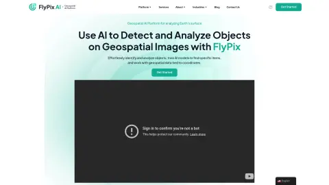
FlyPix AI is a geospatial AI platform that allows users to detect and analyze objects in geospatial images. It enables users to easily identify and analyze objects, train AI models to locate specific items, and process geospatial data associated with coordinates. The platform requires no prior knowledge of AI or machine learning.
How do I use FlyPix AI?
Users can upload geospatial images to the FlyPix AI platform, use the interactive sandbox to explore features, manually annotate objects to train custom AI models, and then use these models to automatically detect objects in new images.
Core Features of FlyPix AI
Object Detection and Analysis in Geospatial Images
Train AI models without any programming knowledge
Interactive Sandbox for Exploring Capabilities
Geospatial data associated with coordinates
Supports multispectral data
Train AI models without any programming knowledge
Interactive Sandbox for Exploring Capabilities
Geospatial data associated with coordinates
Supports multispectral data
Related
IRIS-AI Chrome
IRIS Chrome is a tool that helps IRIS AI users easily solve online questionnaires.
BRAiN Assistant
An AI-driven tool for real-time internet search and personalized knowledge base creation.
hika
A search tool that enables knowledge exploration and understanding based on artificial intelligence.
The New GitBook
Provides a single, authoritative source for technical documentation, equipped with AI-driven search capabilities.
Rhippo
Rhippo: An AI team member equipped with dynamic knowledge and the ability to integrate contextual information into its functionality.
DriveGPT
An AI based on GPT-4 that uses the files in your Google Drive to provide assistance.